
Meet Moho UNO
When it comes to seismic monitoring, reliability and ease of use matter. That’s why QuakeLogic created the Moho UNO — a compact, single-component seismograph designed for professionals, researchers, and organizations who need accurate seismic data without the hassle.
The Moho UNO combines professional-grade performance with a simple, plug-and-play design. Whether you’re running an earthquake early warning system, monitoring structural health, or conducting academic research, this device makes advanced seismic monitoring more accessible than ever.
Why Moho UNO Stands Out
- ✅ Compact & Portable – Lightweight and easy to transport.
- ✅ Quick Deployment – Set it up in minutes, not hours.
- ✅ High Sensitivity – Detects even the smallest ground motions.
- ✅ Flexible Working Modes – DataStreamer, Seedlink, Win2SDR, EwExport.
- ✅ Robust Design – Built with IP65-rated protection for reliability in the field.
- ✅ Real-Time Data – Streams seismic data in miniSEED format for professional use.
- ✅ Affordable – Professional-level performance at a cost that fits research and institutional budgets.
Practical Applications
The Moho UNO is already helping professionals around the world with:
- Earthquake Early Warning Systems – Deliver alerts faster and improve community safety.
- Structural Health Monitoring – Monitor dams, bridges, and buildings for vibrations and stress.
- Shake Intensity Research – Collect high-quality data for academic and government studies.
- Education & Training – Universities and labs can use Moho UNO as an affordable teaching tool.
Easy to Use
Forget about complex installations. With its built-in Wi-Fi connectivity and web-based interface, you can:
- Configure the device quickly.
- View live waveform graphs from any browser.
- Connect through TCP/UDP or SSH for advanced setups.
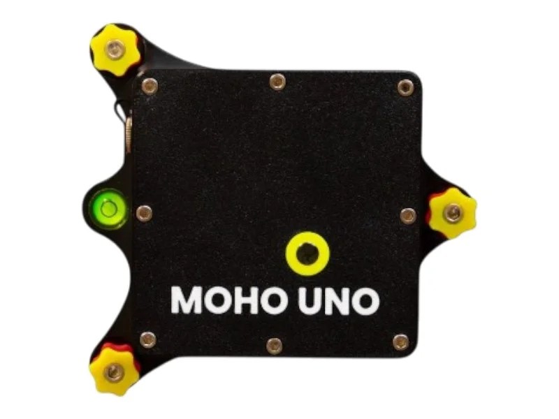
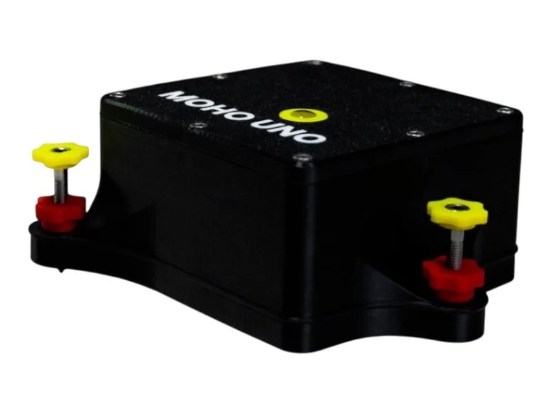
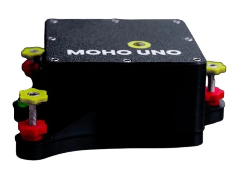
- Level and deploy the unit in minutes with its adjustable feet and bubble level.
Technical Highlights
- Input Channels: 1 (CH1)
- ADC: 24-bit Delta-Sigma (Cirrus Logic CS5532)
- Sample Rates: 50 / 100 / 200 SPS【58†source】
- Gain Settings: 2, 4, 8, 16, 32, 64
- Data Formats: miniSEED, Earthworm, WinSDR【58†source】
- Enclosure: IP65, PLA material
- Dimensions: 142 × 134 × 55 mm
- Weight: ~410–470 g (depending on sensor)【59†source】
- Power Consumption: Less than 2 W【58†source】
Why Choose QuakeLogic
QuakeLogic has over 15 years of expertise in seismic technology and hazard monitoring. With the Moho UNO, you get:
- A proven, reliable instrument.
- Strong customer support.
- Compatibility with global standards (MiniSEED, SeedLink, Earthworm).
- A tool trusted by professionals across industries.
Conclusion
The Moho UNO isn’t just a seismograph — it’s a smarter way to monitor, research, and protect against earthquakes and vibrations. Compact, powerful, and affordable, it’s the perfect choice for institutions, engineers, and researchers.
Compact. Reliable. Research-Grade.
MOHO UNO makes seismic monitoring simple, affordable, and network-ready. Contact us today for pricing.


