Ensuring that all seismic monitoring hardware within an organization meets regulatory standards, safety requirements, and internal guidelines is crucial for maintaining operational integrity and compliance. At QuakeLogic, we understand the importance of systematic procedures to achieve this goal. Here’s a detailed outline on how to prepare an Annual Seismic and Early Warning Monitoring Hardware Compliance Report:
1. Inventory Assessment
- Objective: Compile a comprehensive list of all hardware assets, including dataloggers, sensors, computers, servers, network equipment, and any other relevant hardware.
2. Regulatory and Standards Review
- Objective: Ensure compliance with current regulations and standards applicable to your hardware, which may include industry-specific regulations, data protection standards like GDPR, and safety standards.
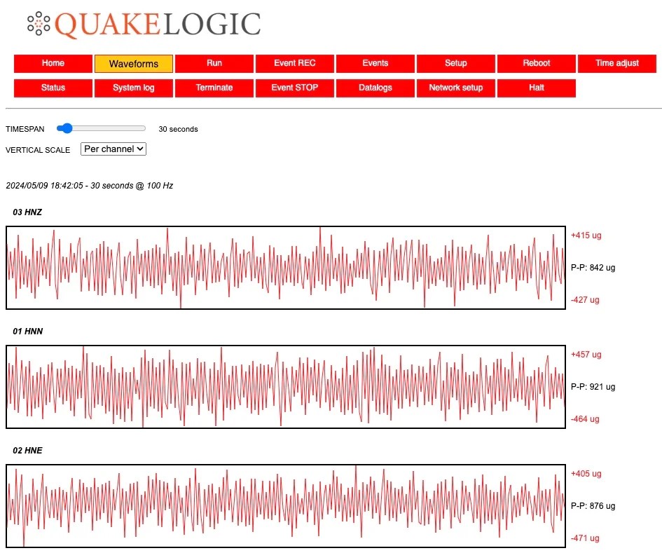
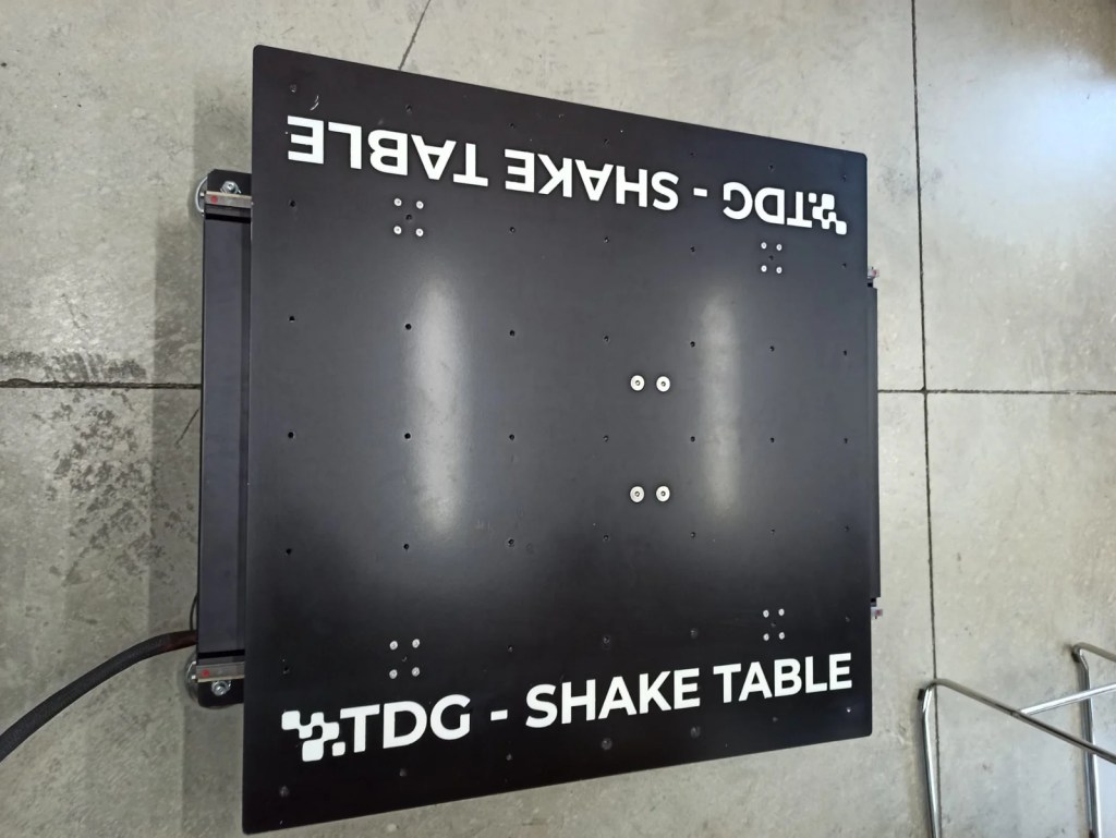
3. Hardware Inspection and Testing
- Objective: Conduct physical inspections and functional tests to verify that each piece of hardware is operating safely and correctly, checking for wear and tear or other potential issues.
4. Software and Firmware Compliance
- Objective: Check that all hardware is running the latest approved software and firmware versions to ensure optimal security and functionality.
5. Documentation Review
- Objective: Review all relevant documentation for hardware, including purchase records, warranty information, and maintenance logs, ensuring everything is up-to-date.
6. Compliance Gap Analysis
- Objective: Identify any discrepancies between the actual state of the hardware and compliance requirements, noting outdated or non-compliant equipment.
7. Risk Assessment
- Objective: Assess the risks associated with identified compliance gaps, determining their potential impact and prioritizing them accordingly.
8. Remediation Plan
- Objective: Develop strategies to address identified compliance issues, which may involve hardware upgrades, additional maintenance, or new safety protocols.
9. Reporting
- Objective: Compile a detailed report summarizing the findings, risk assessments, and proposed remediation plans.
10. Submission and Review
- Objective: Submit the report to relevant authorities and hold review sessions with stakeholders to discuss the findings and next steps.
11. Implementation of Recommendations
- Objective: Execute the remediation plans to rectify compliance issues and ensure all hardware meets required standards.
12. Continuous Monitoring and Updates
- Objective: Establish ongoing monitoring processes to continuously assess and update the compliance status of hardware.
By adhering to these steps, organizations can maintain their hardware in compliance with all pertinent regulations and standards, thus minimizing risks and bolstering operational effectiveness.
A template report can be downloaded from HERE.
For any questions regarding the process or to seek guidance on specific compliance challenges, feel free to contact us at support@quakelogic.net or call us at +1-916-899-0391. We’re here to help you ensure that your hardware systems are safe, compliant, and optimally functioning.